1. Finding shallow and deep groundwater
Ruden Water can perform a feasibility study to assess the potential for deep or shallow groundwater resources. We can do this for regions of all sizes, from a small farm to a complete country. The time that is needed for a feasibility study depends on the size of the area of interest but can range from 1 month up to 1 year. Contact us with your questions and we are happy to discuss what would be possible for your area of interest.
A feasibility study typically consists of the elements described below:
- Cost benefit analysis comparing different water resources (deep groundwater, shallow groundwater, sand-dams, desalination, etc).
- Understanding the water needs of a region. What is the total volume of water that is needed daily?
- State of the art of previously done hydrological studies in the region and review of the surface geology and topography to understand the drainage system. These activities are necessary to identify new sources of water.
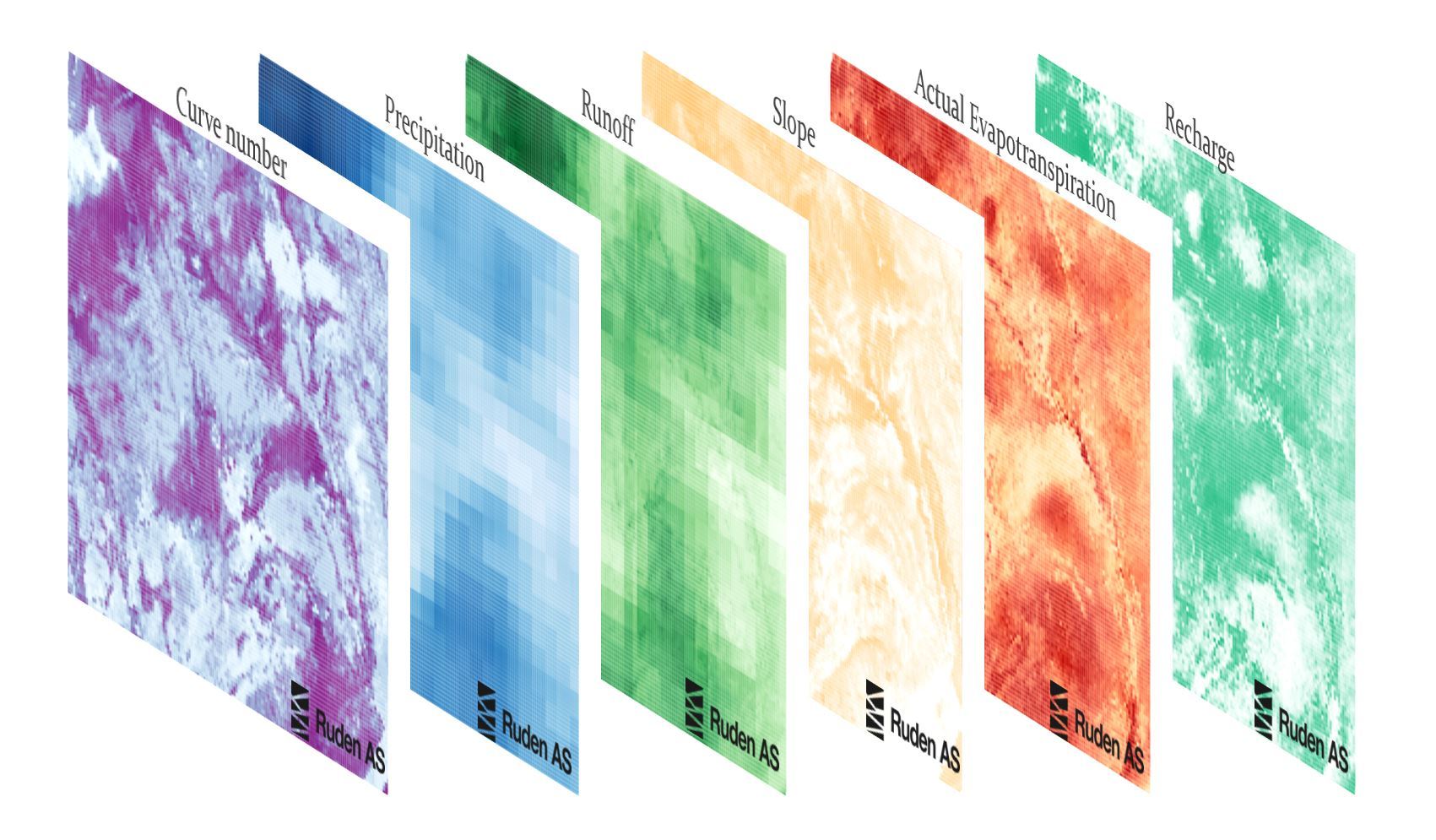
- Groundwater recharge estimation using climate data. This estimate gives an indication of what the sustainable rate of water extraction should be for a region.
- Mapping the oil and gas activities in the region. This data is needed for finding deep groundwater. Ruden Water will advise the client how to get access to this data.
2. Water use and management for agriculture
Groundwater Recharge Maps
Recharge refers to the amount of water from rainfall that infiltrates the surface of the earth and replenishes shallow aquifers. Accurate prediction of when, where and how much rainfall contributes to groundwater recharge will help with planning agricultural activities, and sustainable rates of water extraction.
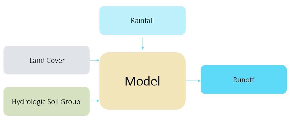
Ruden Water can provide high resolution groundwater recharge and runoff maps with a time resolution of 1 day, and spatial coverage ranging between 250 m2 to a few million km2. These are maps that indicate the location and magnitude of recharge and runoff over a desired area. The direct application of this work can help costumers identify places that are more suitable for shallow groundwater search and planning for water harvesting.
Water Harvesting using Runoff
Q. How much runoff volume can be collected for storage?
Q. Where is the best location for collecting runoff?
Q. What are seasonal variations in runoff?
3. 3D Geological modeling
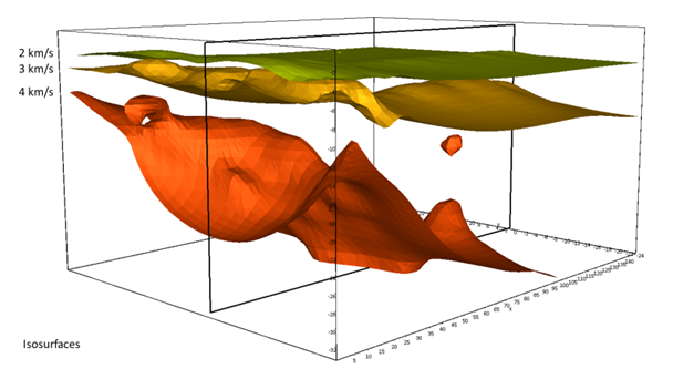
To be able to model the geometry and lateral extent of possible freshwater aquifers, Ruden Water can assist you building a 3D geological model of your area of interest. This model will be built in software that is used in the Oil & Gas industry and will be based on the information that is available for the area in the public domain, and any (geological) data the client is able to share.
This 3D geological model will give insights about the presence, extent and volumes of possible freshwater aquifers. Moreover, this 3D geological model can act as a base for groundwater modeling in e.g. ModFlow.
Seismic and well-log interpretation
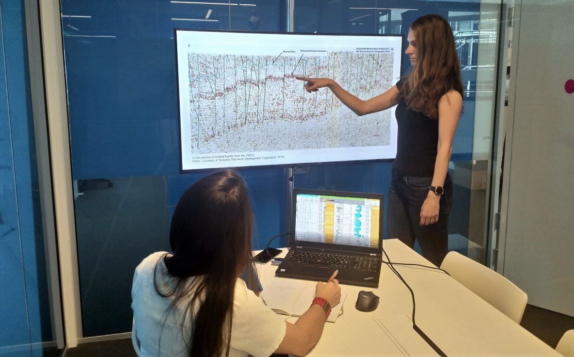
At Ruden Water, we have access to the competence and tools from the Oil & Gas industry, to interpret wells logs from Oil & Gas wells, and seismic data, with the aim to identify possible freshwater aquifers.
The interpretation of seismic profiles will enable to map the presence and extent of possible freshwater aquifers. From well log data we can make estimations of fluid salinities, and therefore can indicate possible freshwater aquifers.
4. Groundwater Modelling
We can help you building groundwater model to model the groundwater flow in your area of interest. We can work with small models at aquifer scale to models over a whole country.
