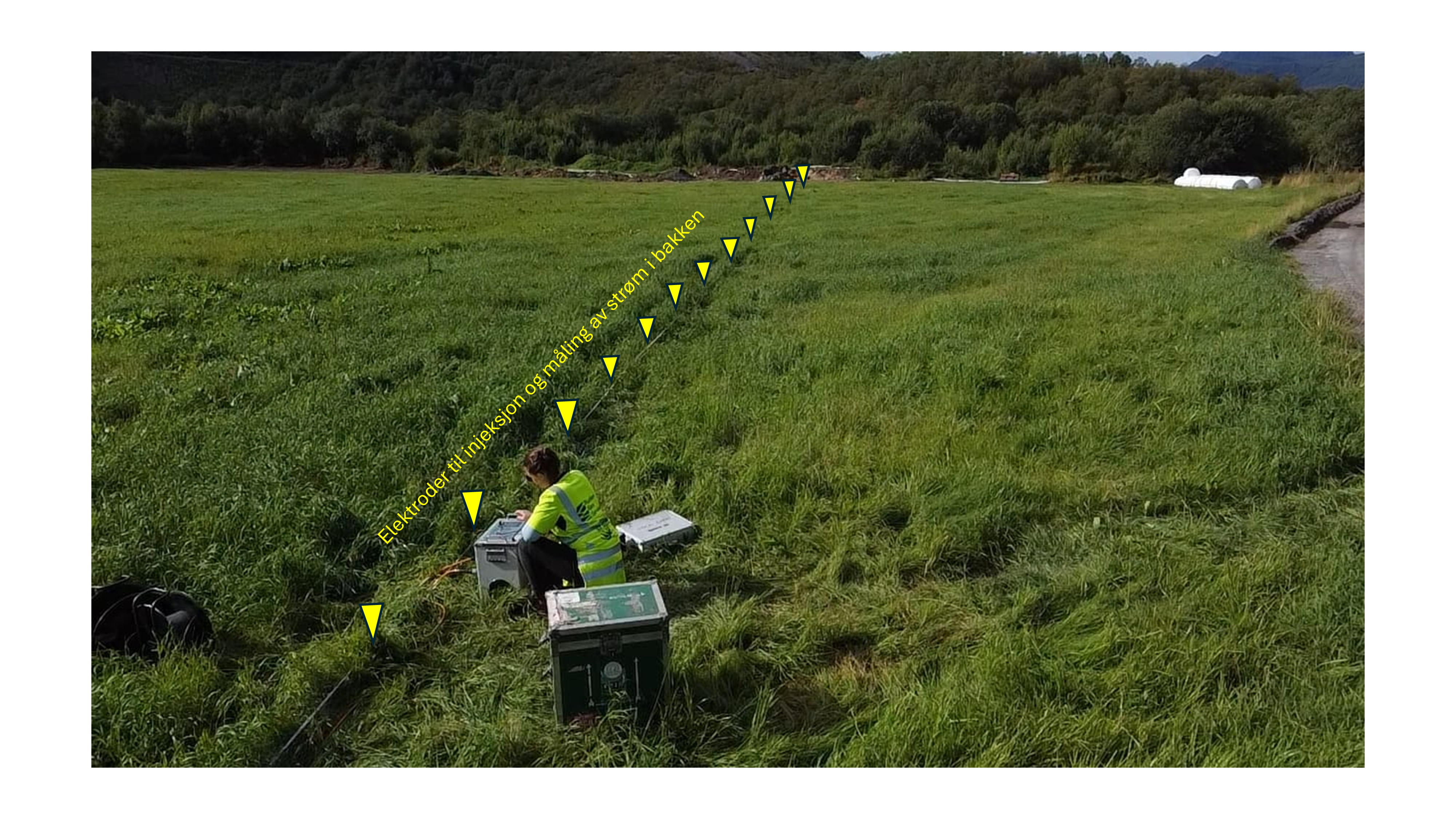
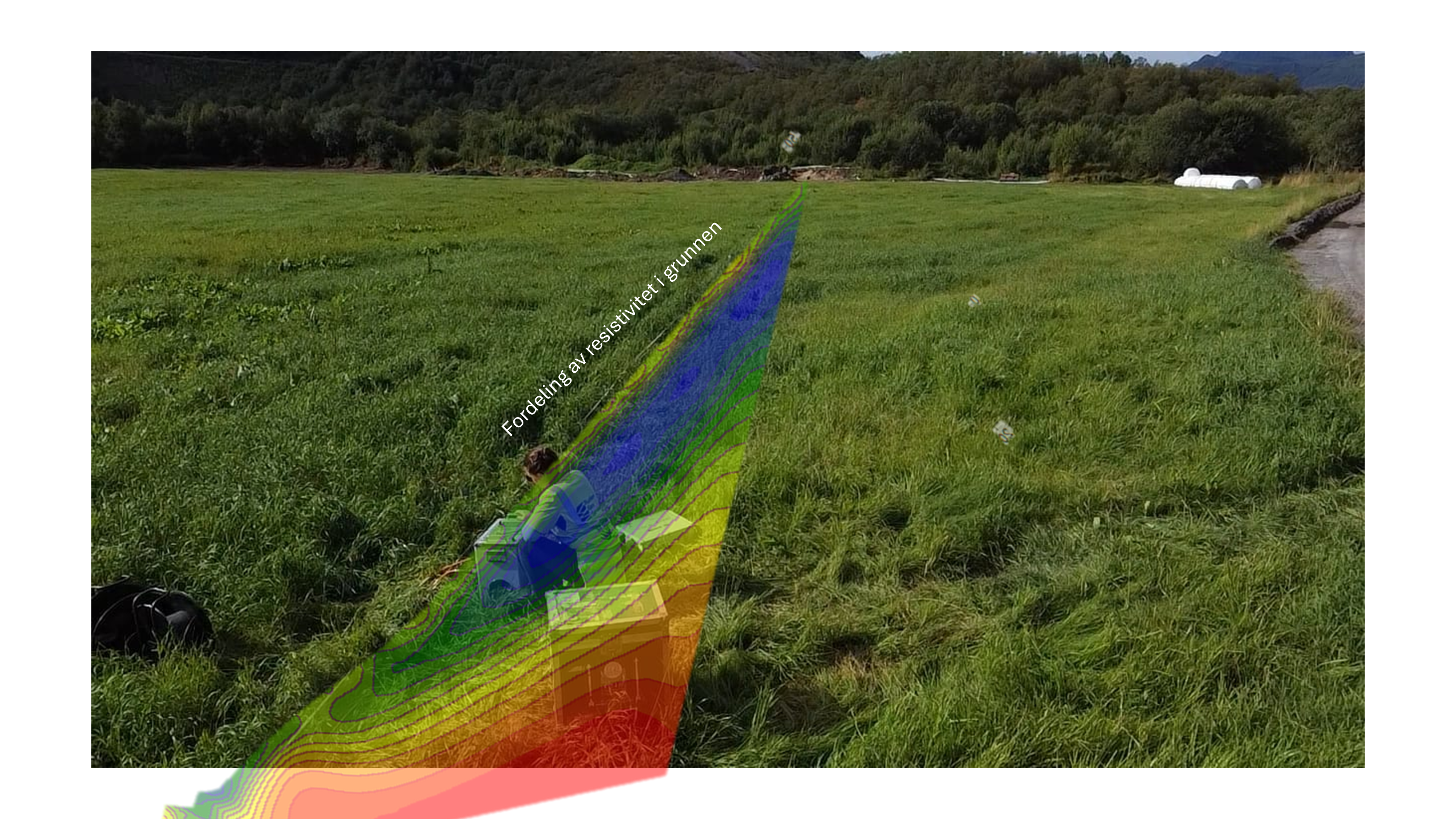
ERT (Electrical Resistivity Tomography) is a near-surface geophysical method that uses direct current to measure the resistivity in the subsurface. By injecting the current into the surface through steel electrodes that are placed into the ground at a certain spacing, the apparent resistivity distribution along a profile can be measured.
Different sediments and rock types have different subsurface resistivity. Therefore, ERT enables to illustrate variations in the subsurface conditions that can be interpreted into geological variations.
Applications
- Mapping of depth to bedrock and sediment infill
- Mapping of quick clay
- Geo-hazards and rock quality
- Environmental risk assessment
For more information, Click Here

